Hydrology
Originating in the San Juan Mountains of Colorado, the Dolores River is 402 km in length. The river passes through Bonderman Field Station at Rio Mesa some 395 km downstream of the headwaters, and just upstream of where the Dolores River empties into the Colorado River. Except for the McPhee Dam located near the headwaters, the Dolores River is a largely unregulated river and exhibits dramatic changes in seasonal and interannual flow rates in response to winter precipitation, spring melt, and summer monsoons. A USGS gauging station on the Dolores River is located at Bonderman Field Station and has been operational for almost 60 years. In the last decade, the Dolores River at Bonderman Field Station has seen flows as low as 3 cfs and as high as 7500+ cfs.
Water quality and sediment loads are equally dynamic in the Dolores River, reflecting the strong coupling of terrestrial and aquatic ecosystems in the Colorado Plateau.
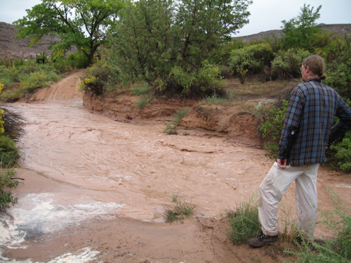 Flash flood, Cottonwood Creek
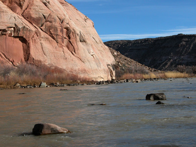 Dolores River
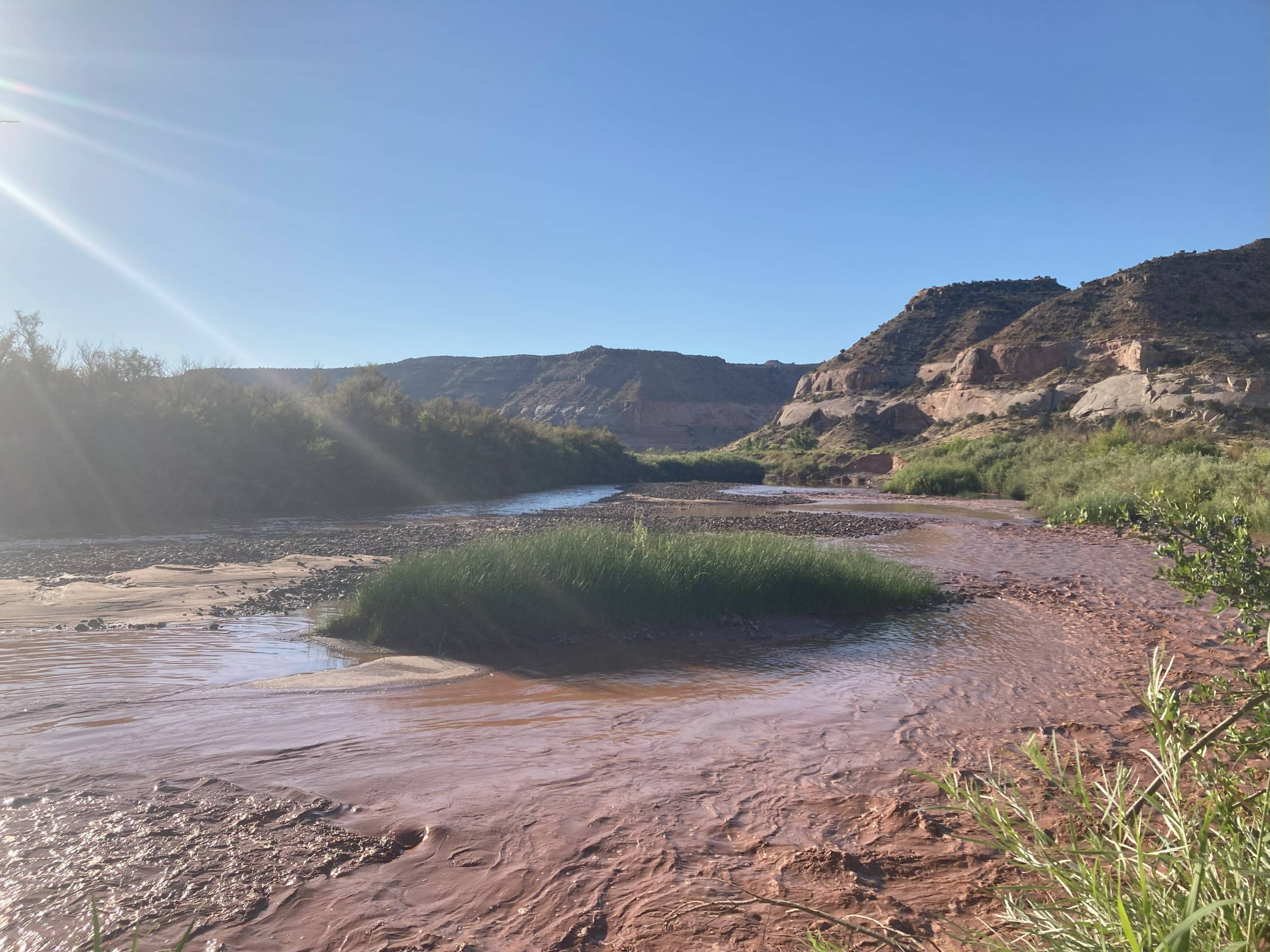 Storm water runoff, Dolores River
Drone footage of Dolores River in May, 2023, with flow in excess of 7000cfs and gauge height of 15ft+.