Stratigraphy
The Colorado Plateau is a broad region of generally flat-lying strata that have been uplifted during the middle and late Cenozoic Era, testifying to vertical tectonic movements without a great deal of lateral extension or compression. Accompanying the regional uplift, mighty rivers have cut deeply into this "layer cake" stratigraphy of ancient sedimentary rock units to create spectacular canyons with unexcelled exposures of sandstone, mudstone and limestone along the canyon walls.
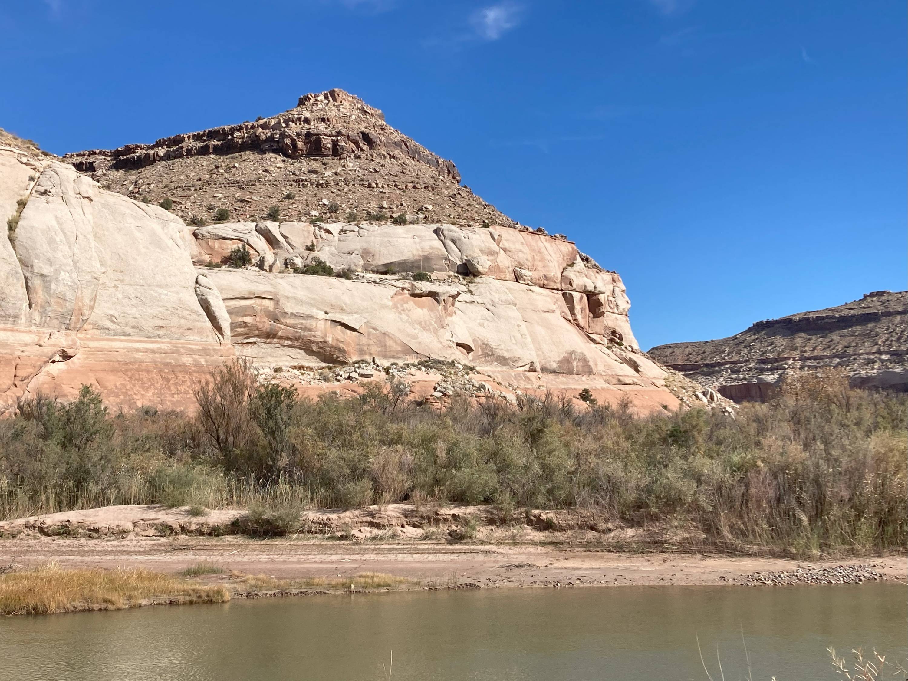
Bonderman Field Station at Rio Mesa lies in the canyon of the Dolores River, a tributary of the Colorado River, which has cut deeply into the massive Jurassic Navajo and Entrada Sandstone Formations. These thick sandstone units, both of which are also well exposed in Arches National Park to the southwest of the field station, are ancient eolian deposits, that is, they formed from cementation of ancient wind-blown sand dunes at times when Utah was a widespread inland desert. It is conjectured that some of the dunes may have been hundreds of feet high.
The complete stratigraphic column in the area around Bonderman Field Station at Rio Mesa extends from the Late Triassic up into the early Cretaceous, including the following formations (from oldest to youngest): Kayenta Sandstone, Navajo Sandstone, Entrada Sandstone, Summerville Formation, Morrison Formation, and Burro Canyon (Cedar Mountain) Formation. These Mesozoic rock units mostly represent a succession of continental sedimentary deposits in small streams, large rivers and sandy deserts, along with the occasional temporary encroachment of shallow seas. The rock strata today dip gently to the north-northeast.